
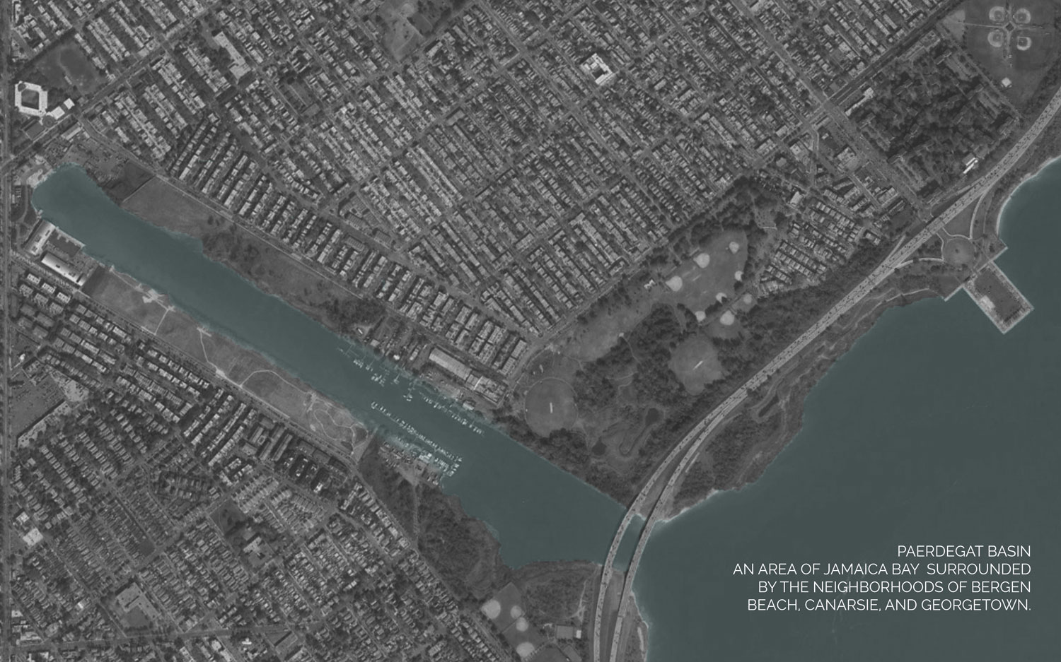
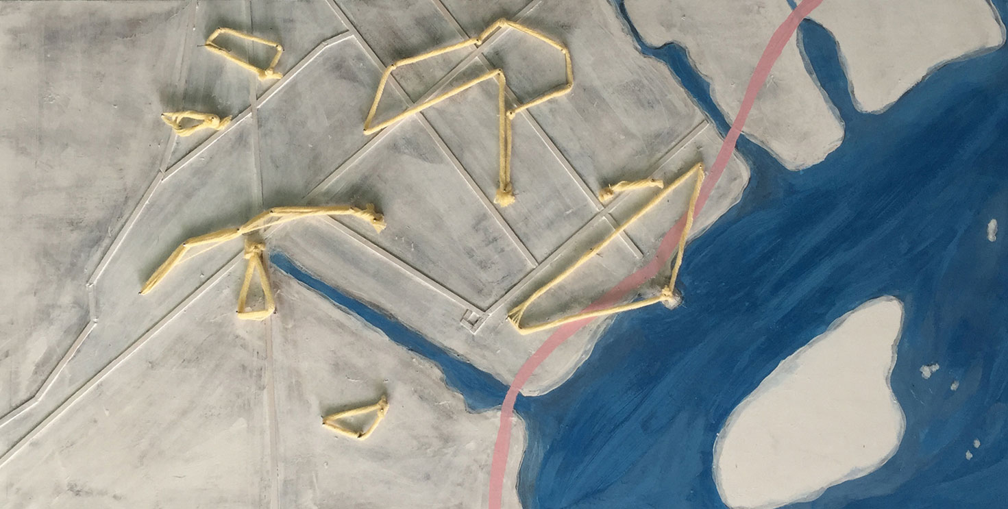
Paedergat Basin, Canarsie, Brooklyn, New York
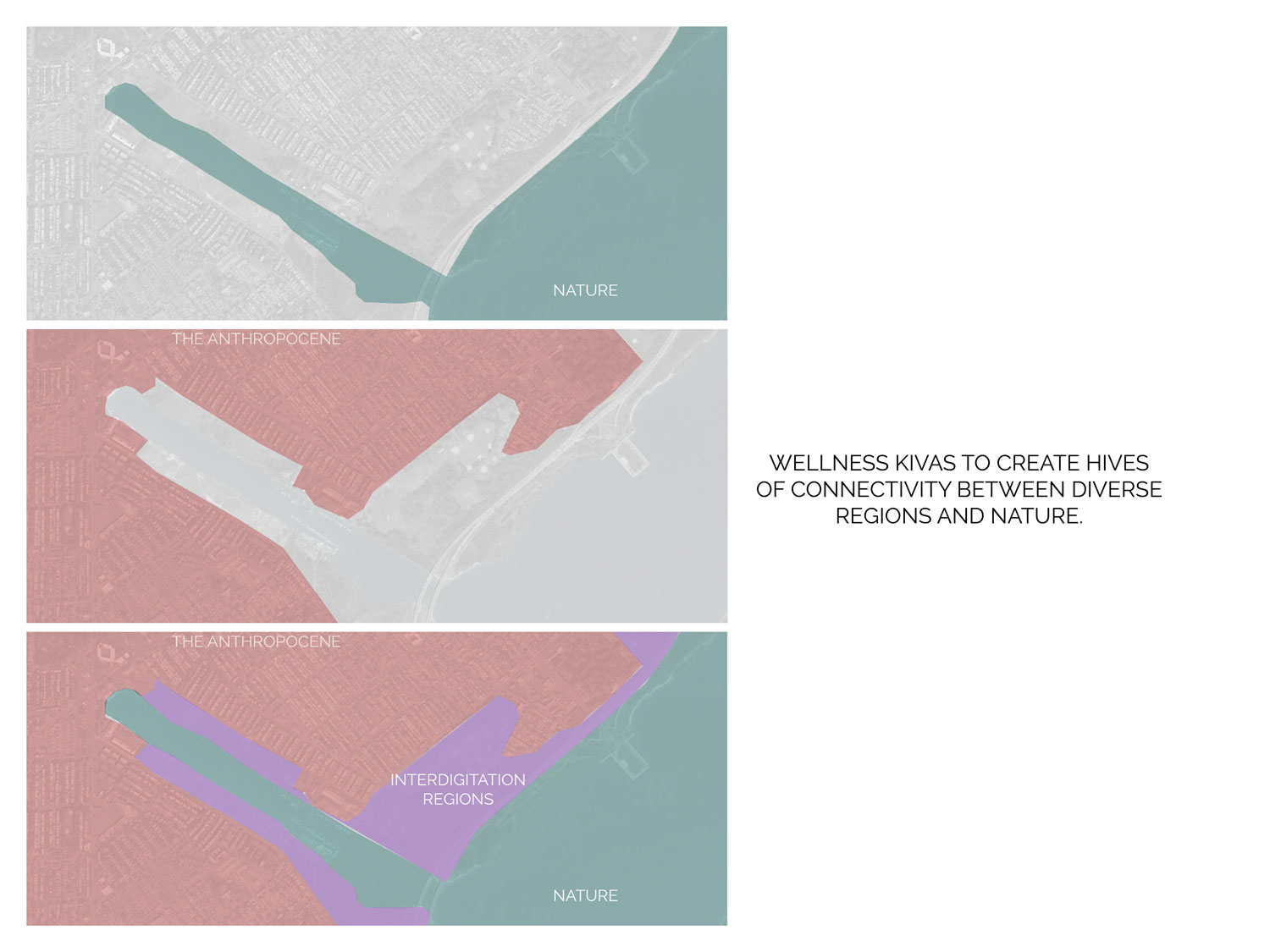
Wellness Kivas
A way to connect the surrounding communities to nature and each other.
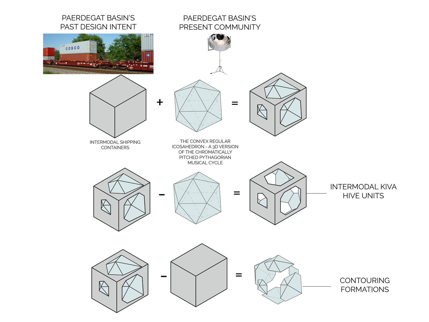
Development of Kivas.
As a way to connect nature to culture; the past to the present; and address surrounding community health issues, the kivas of Mesa Verde inspired the concept of urban kivas. The purpose of these kivas is to connect the diverse communities through wellness related activities, such as mobile .health clinics, markets, and walking trails
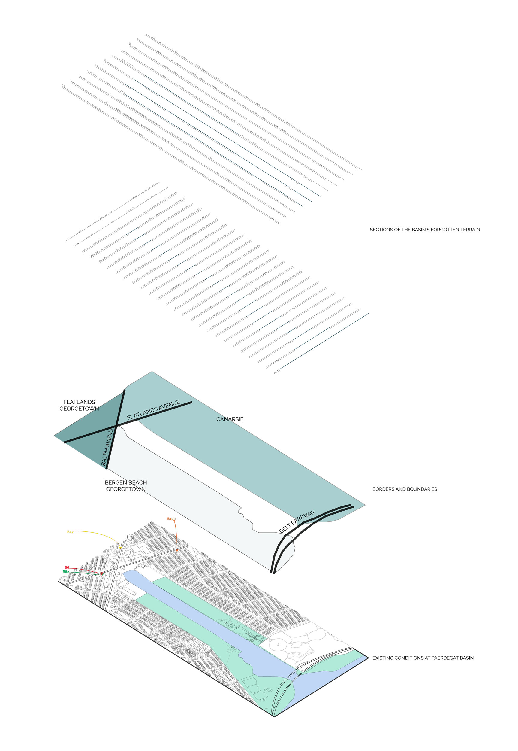
Existing Conditions at Paedergat Basin
Communities, Transit, Sections of Terrain.
Identified Kivas in the Vicinity of Paedergat Basin
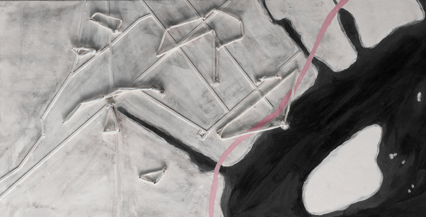
Hard Boundary
With limited pedestrian entry points to Jamaica Bay, the Belt Parkway serves as the hardest boundary between the bay and its communities.
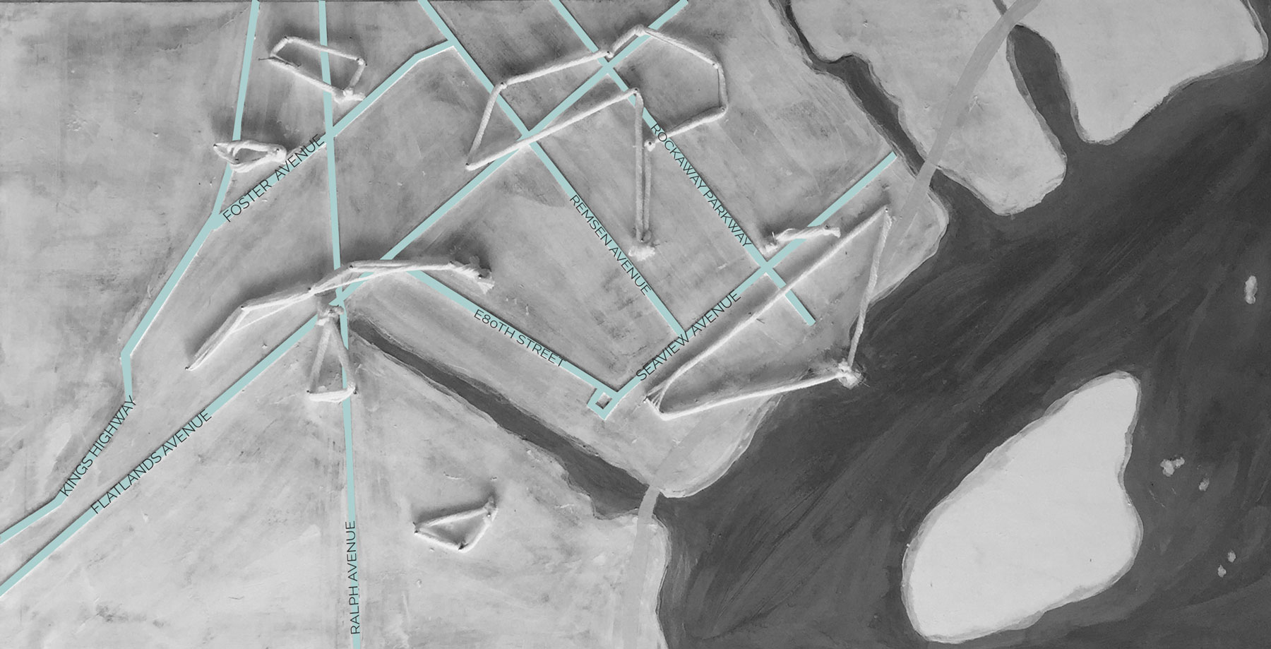
Main Roads
Inter-community transit through the region is limited to automobile transit on the main roads.
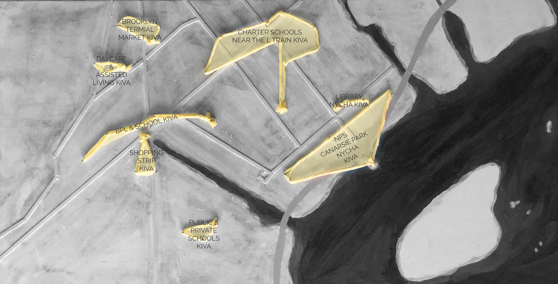
Existing Kivas
NYCHA, National Park Service, Libraries, Schools, Markets, and Shopping Strips.
JB Anthro_Existing Conditions