

Glacial Topographical Ridge

Direction of Flows
This map shows the direction of streams that flowed from the glacial ridge in the Jamaica Bay Watershed.
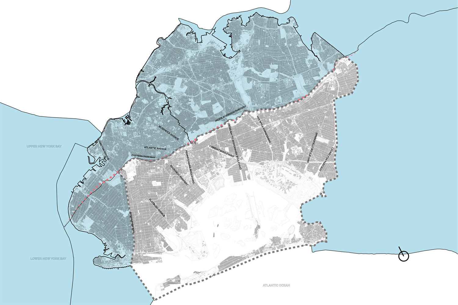
From Waterways to Roadways.
This map illustrates the replacement of waterways originating from the glacial ridge for roadways in the Jamaica Bay Watershed.
JB Anthro_Glacial Maps