Jamaica Bay Anthropocene
Addressing wellness needs of a local community through activation of Paerdegat Basin, Jamaica Bay, New York.
MArch I Urban Studio with Jennifer Bolstad & Walter Meyer
at Parsons The New School for Design
Ten thousand years ago marked the end of the last glacial period, and the world entered the age of the anthropocene—the geologic time period influenced by the human race. Evidence shows that mankind’s activities have altered the atmospheric, geologic, hydrologic, and biospheric shape and processes of the Earth. Furthermore, the global economic system, in the period since the industrial revolution (1750-2010), is the primary driver of changes termed the “Great Acceleration.” These changes to the Earth System include greenhouse gas levels, ocean acidification, deforestation, and biodiversity deterioration.
Global industrialization spawned global urbanization; and, as a result, cities blanket more of the world now than even thirty years ago. Due to trends associated with urban sprawl, the boundaries of most cities are ever expanding. Yet, in order to understand the maturation of the urban region, one must examine the reasons cities developed as they have. As with most coastal cities, the melting of the glacial ridges, leftover from the last ice age, gave desirable form to the topographic and hydrologic conditions of the city. A population’s proximity to water is advantageous, as water can provide transportation, fertile soil, and beneficial conditions to all life.
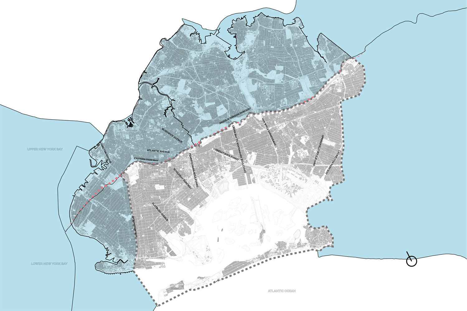
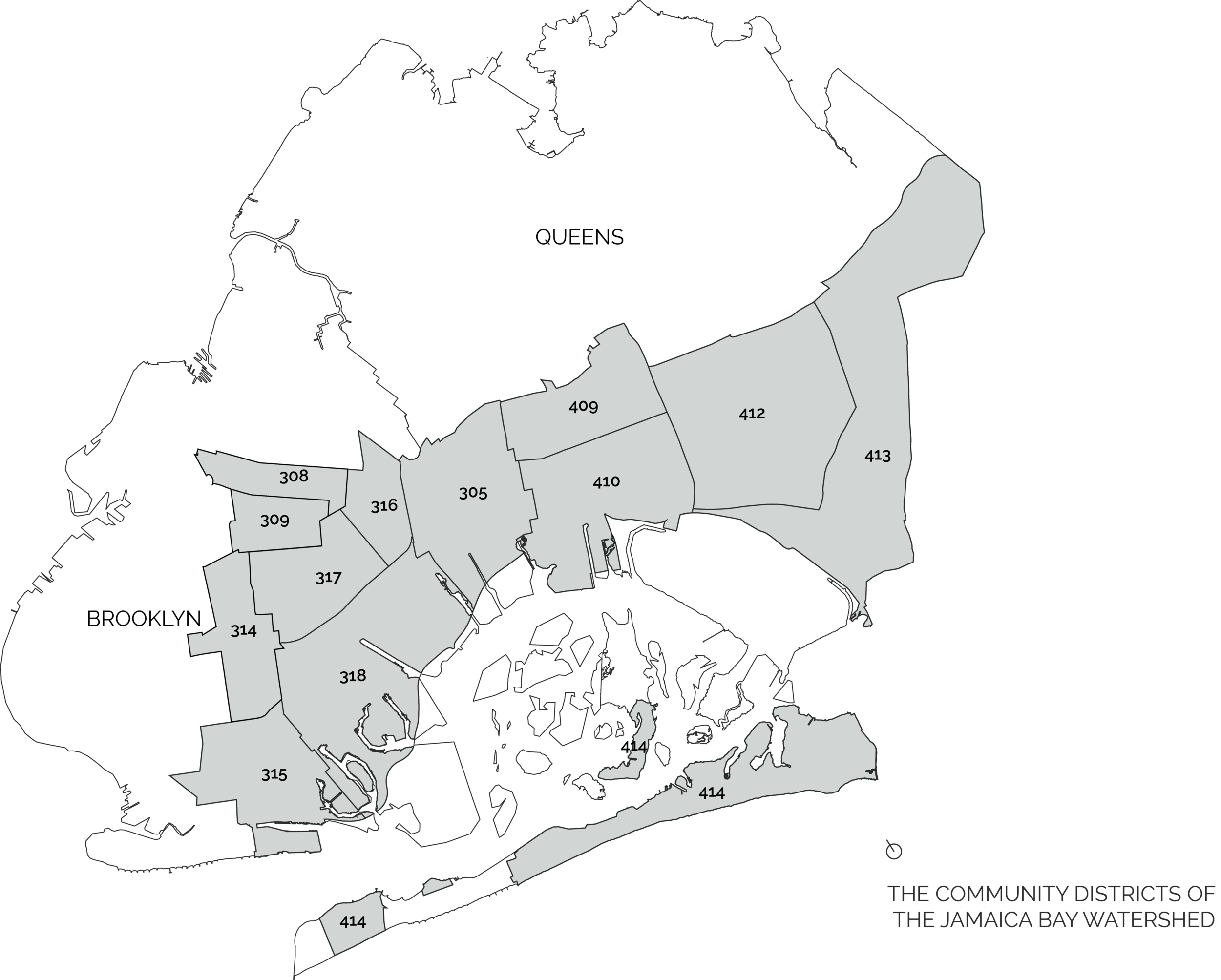
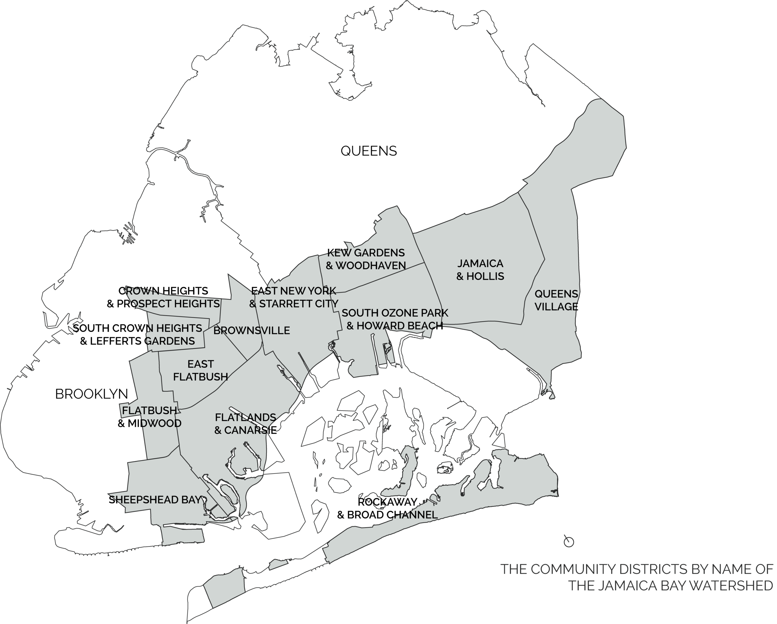
In New York City, development within the Jamaica Bay (JB) Watershed typifies this relationship between water and urban growth. The watershed spans the regions of Brooklyn and Queens from the glacial ridge (a.k.a. I-27) to the Atlantic Ocean. Over time the streams and waterways that originated from this ridge were filled and covered to become major roadways like Ocean Parkway and Woodhaven Boulevard.
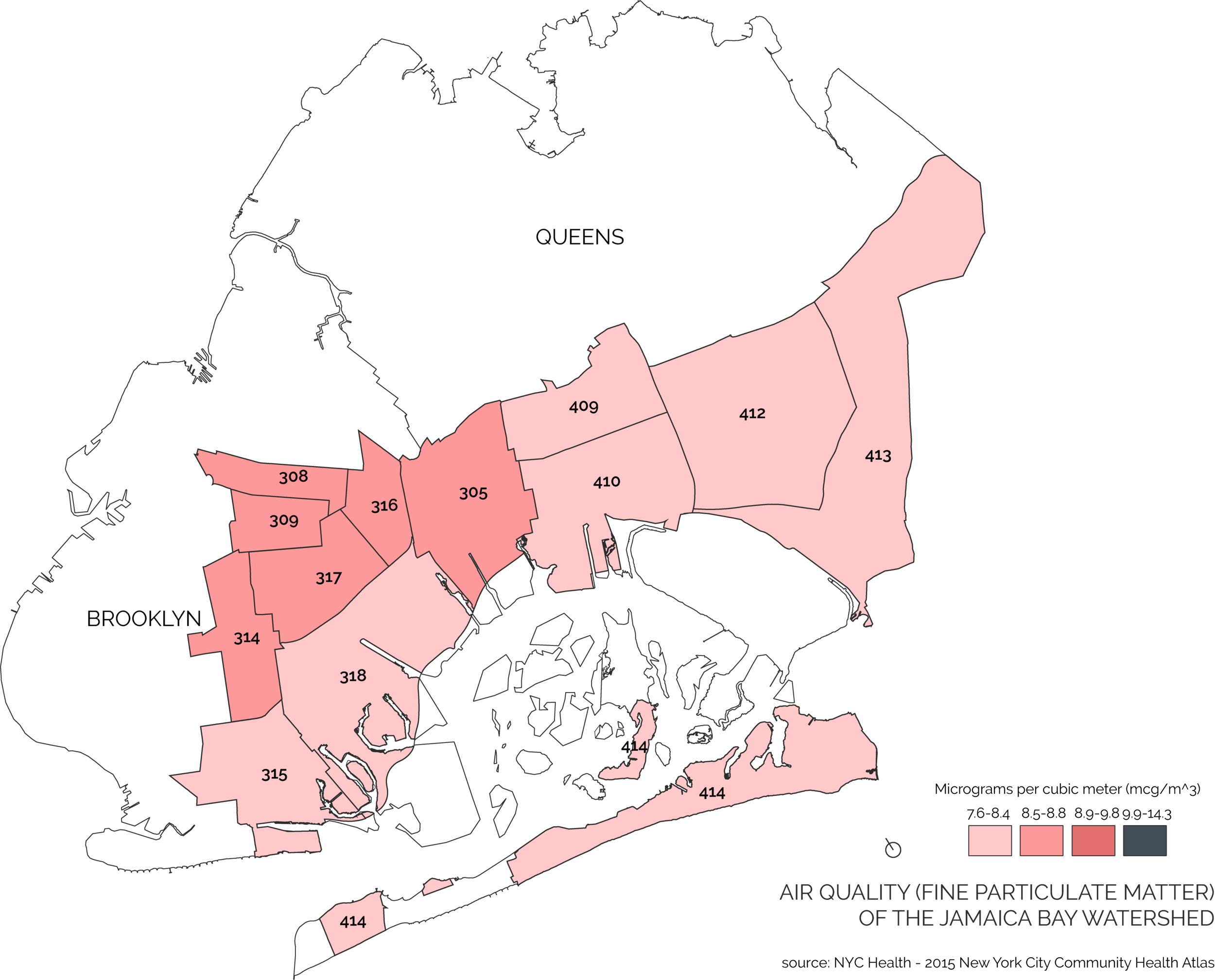
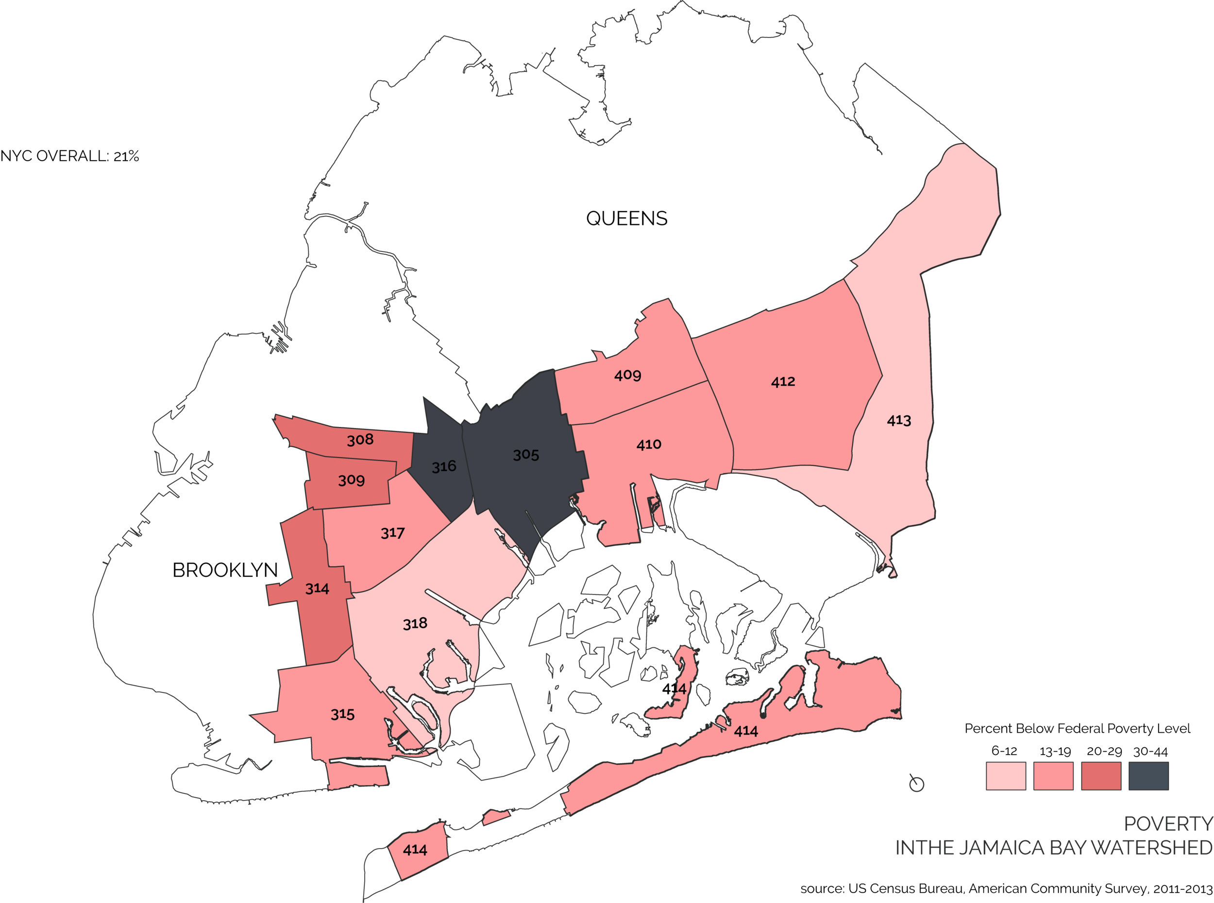
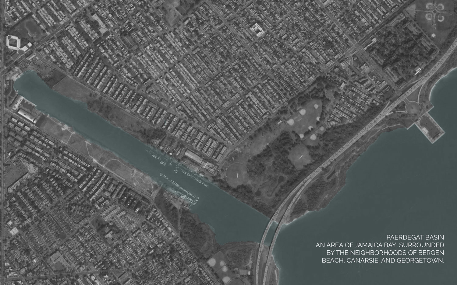
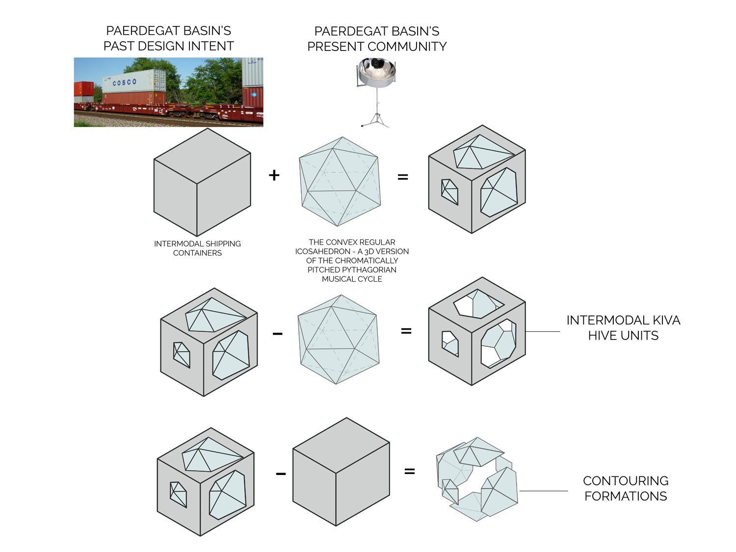
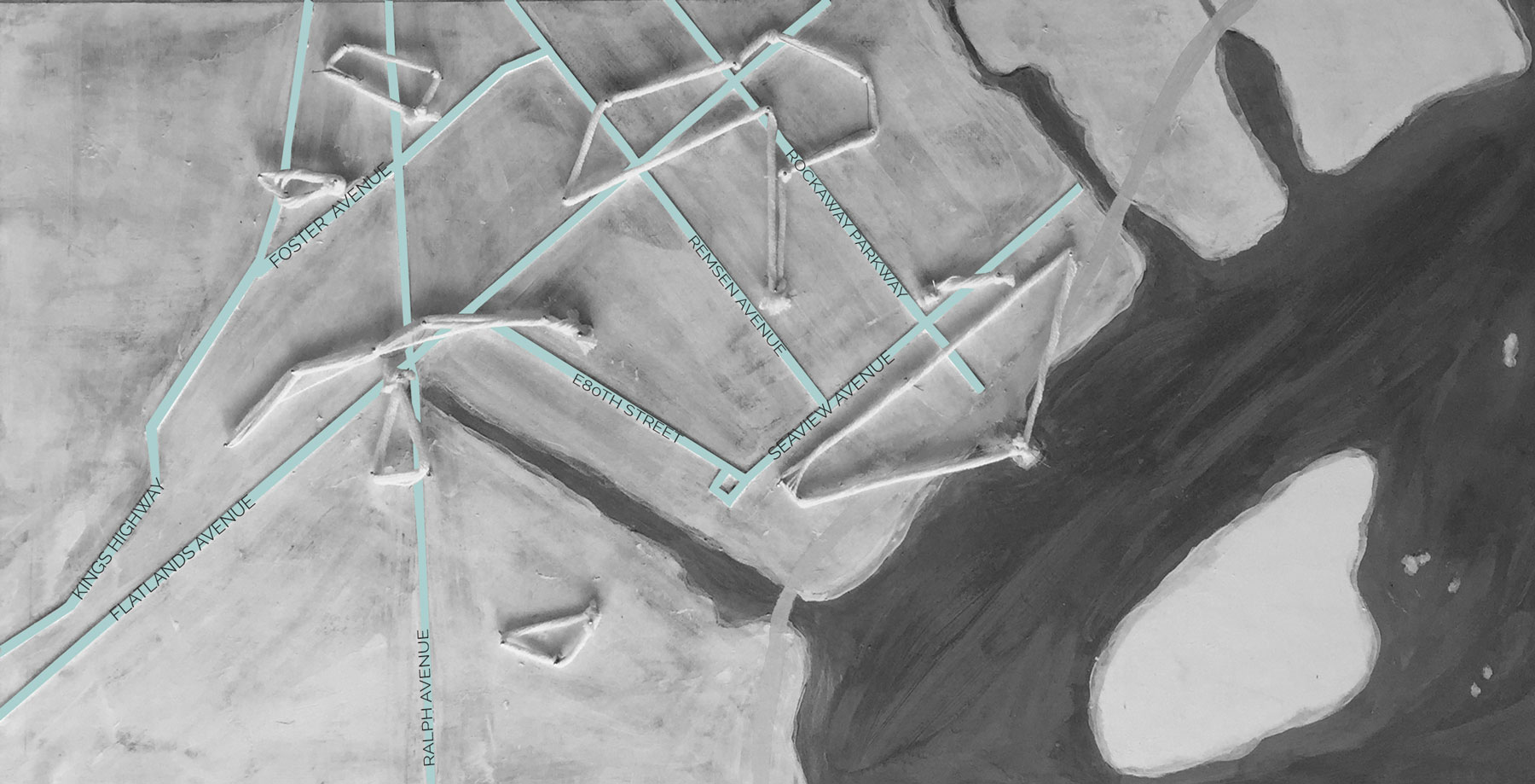
One of the few remaining connections to the city’s glacial past can be seen at Paerdegat Basin in Brooklyn, New York. Early 20th century development of the basin was intended to connect waterway shipping with the nearby rail system. Development did not proceed as anticipated, and the surrounding residential districts grew in isolation of each other and the city. Effects of this isolation are present in the public health and economic statistics for the region. In Jamaica Bay, roughly thirty-percent of individuals in the region live below the federal poverty line. And, the region is second only to The Bronx in highest environmentally related health diseases. Therefore, this isolation from the city’s resources bares responsibility for the regions status.
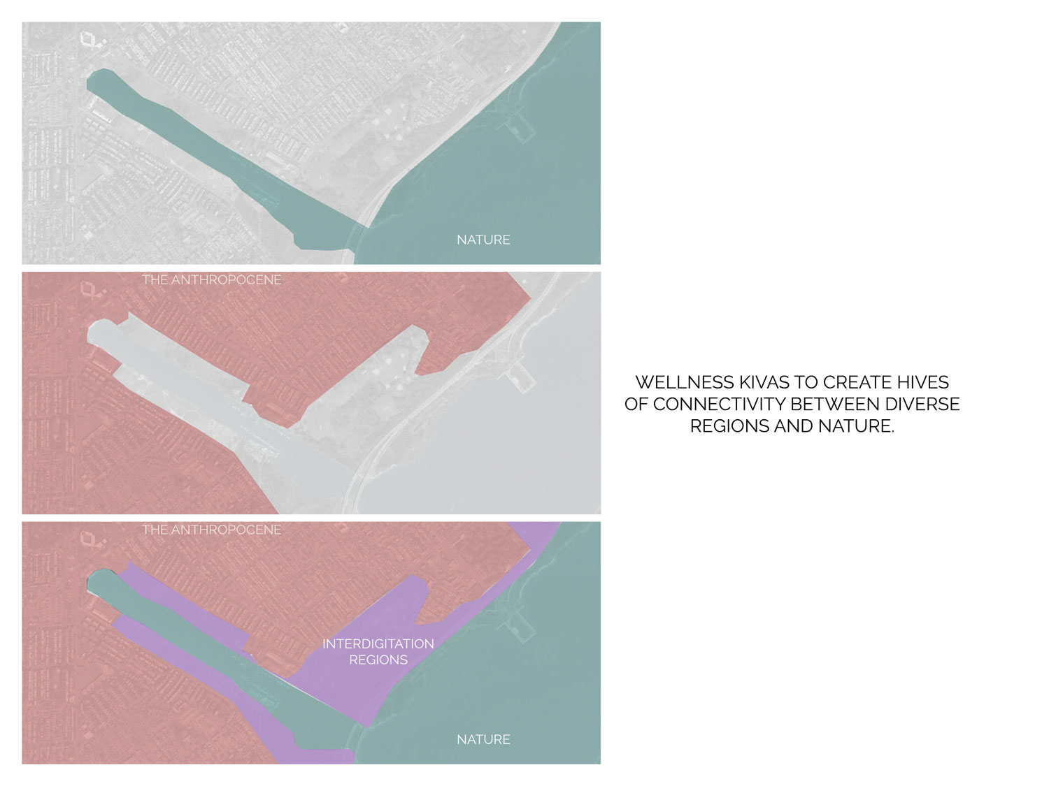
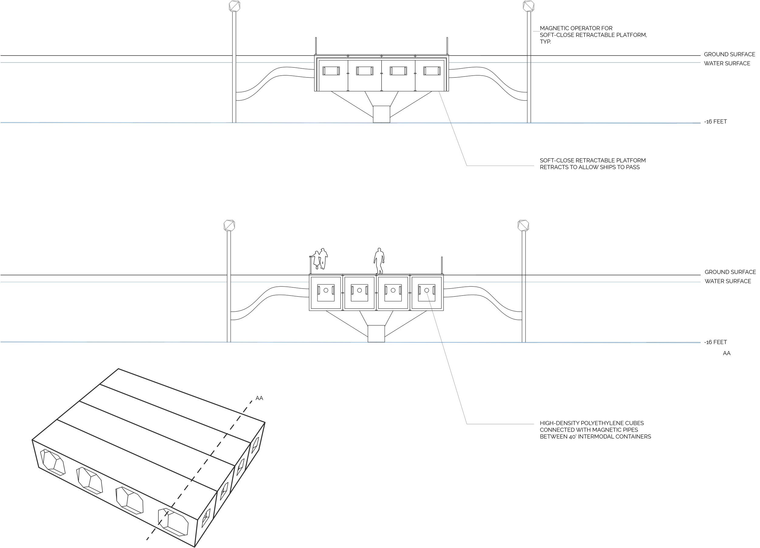
Coincidentally, Jamaica Bay is also home to one of the largest wetlands in the North Atlantic suffering from environmental damage. As restoration and conservation efforts work to improve environmental quality, the resiliency of these habitats and their surrounding communities must be considered. In the age of the anthropocene, these problems are not discrete. Rather, they are part of an interconnected and interdependent issue. By implementing programs such mobile health clinics, green markets, walking trails, and a pedestrian bridge at Paerdegat Basin, Jamaica Bay Anthropocene aims to increase resiliency and environmental awareness by improving community wellness.
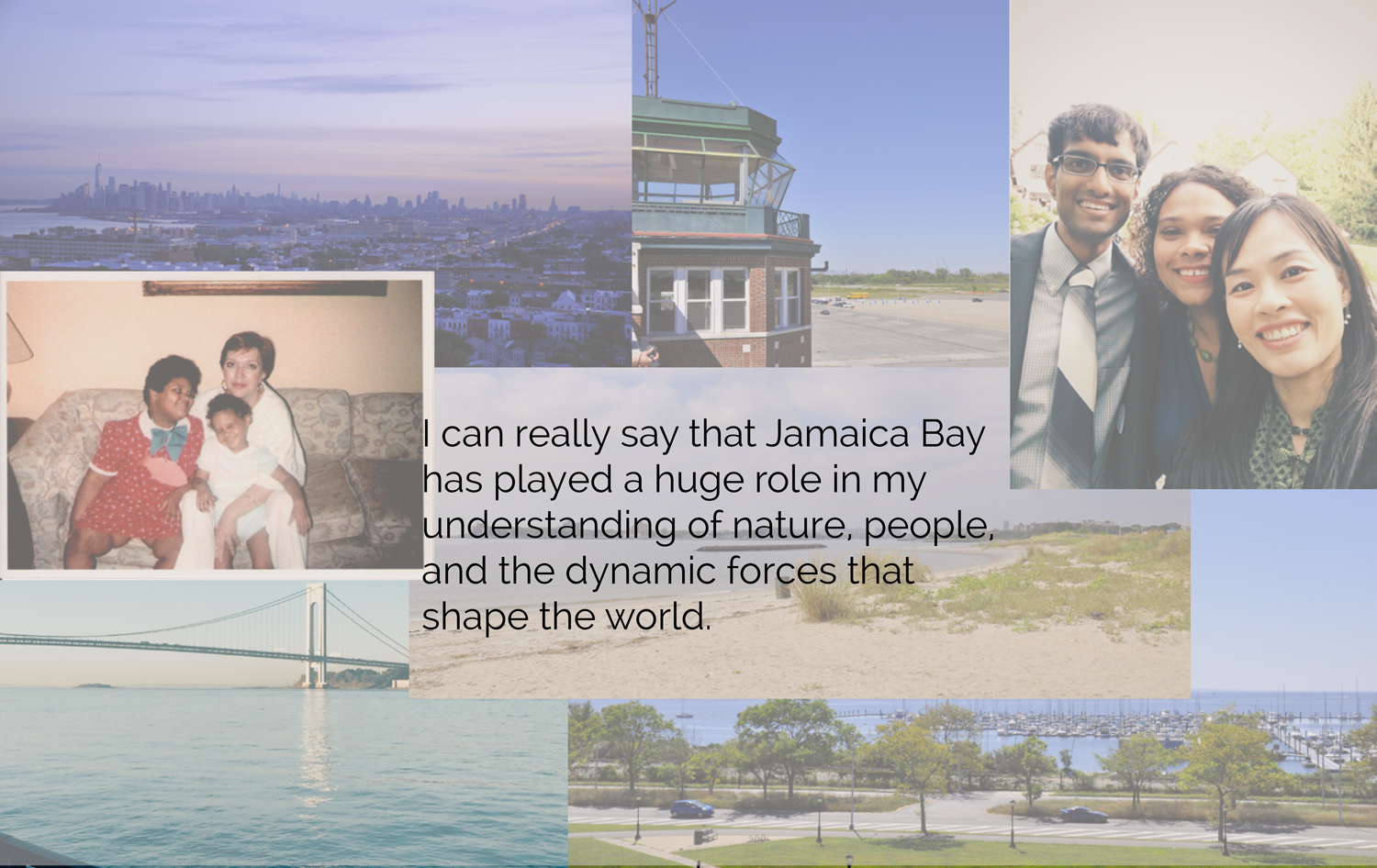
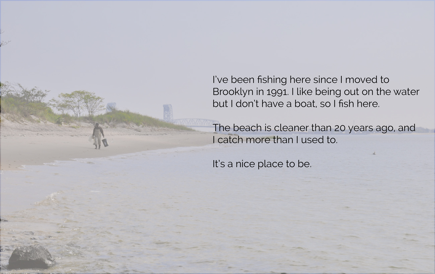
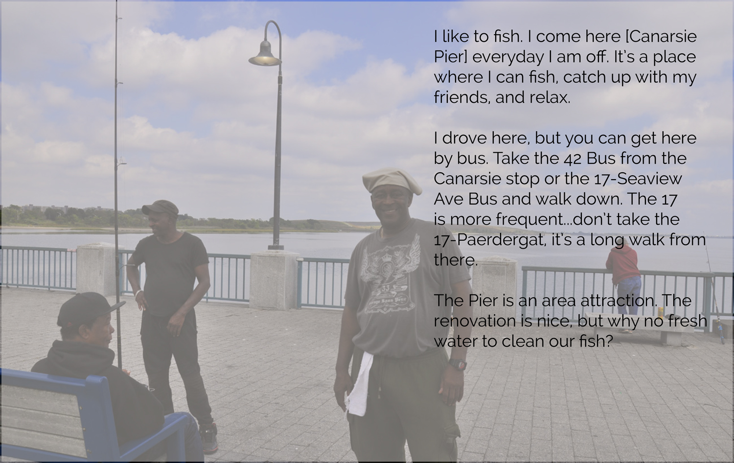
Users of Jamaica Bay
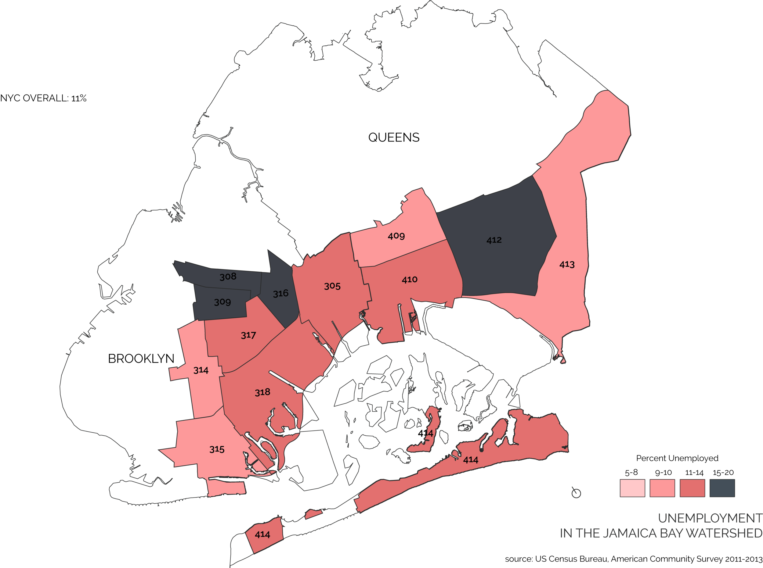
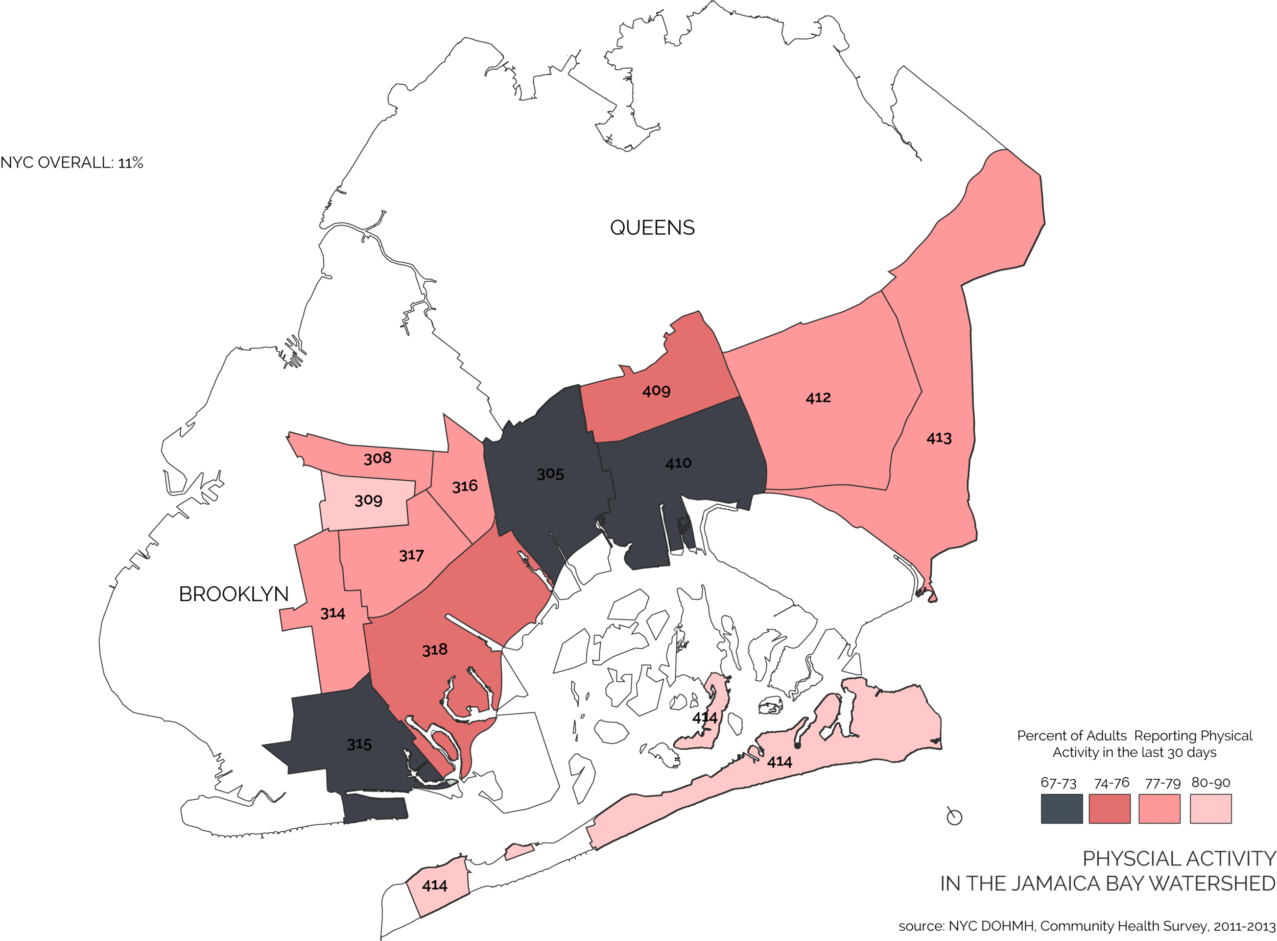
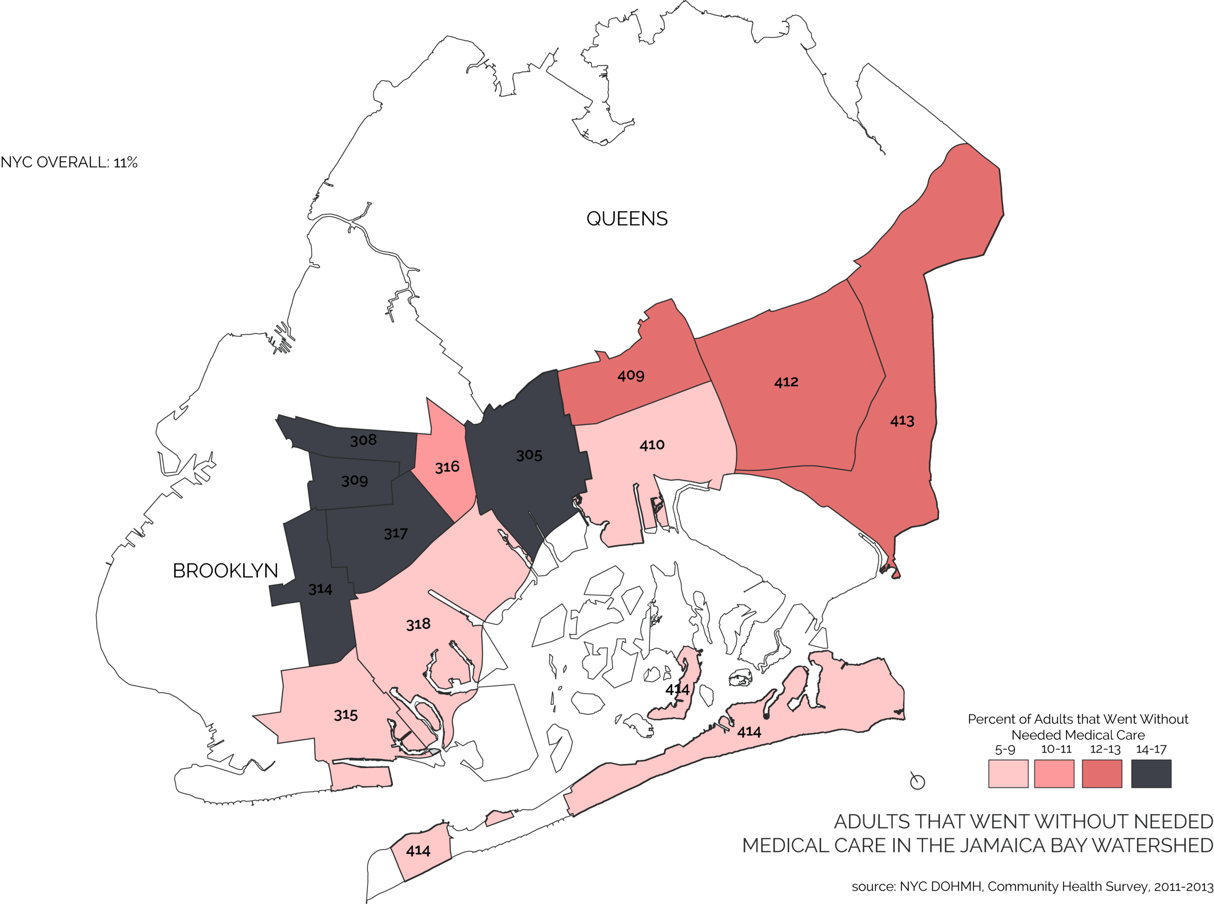
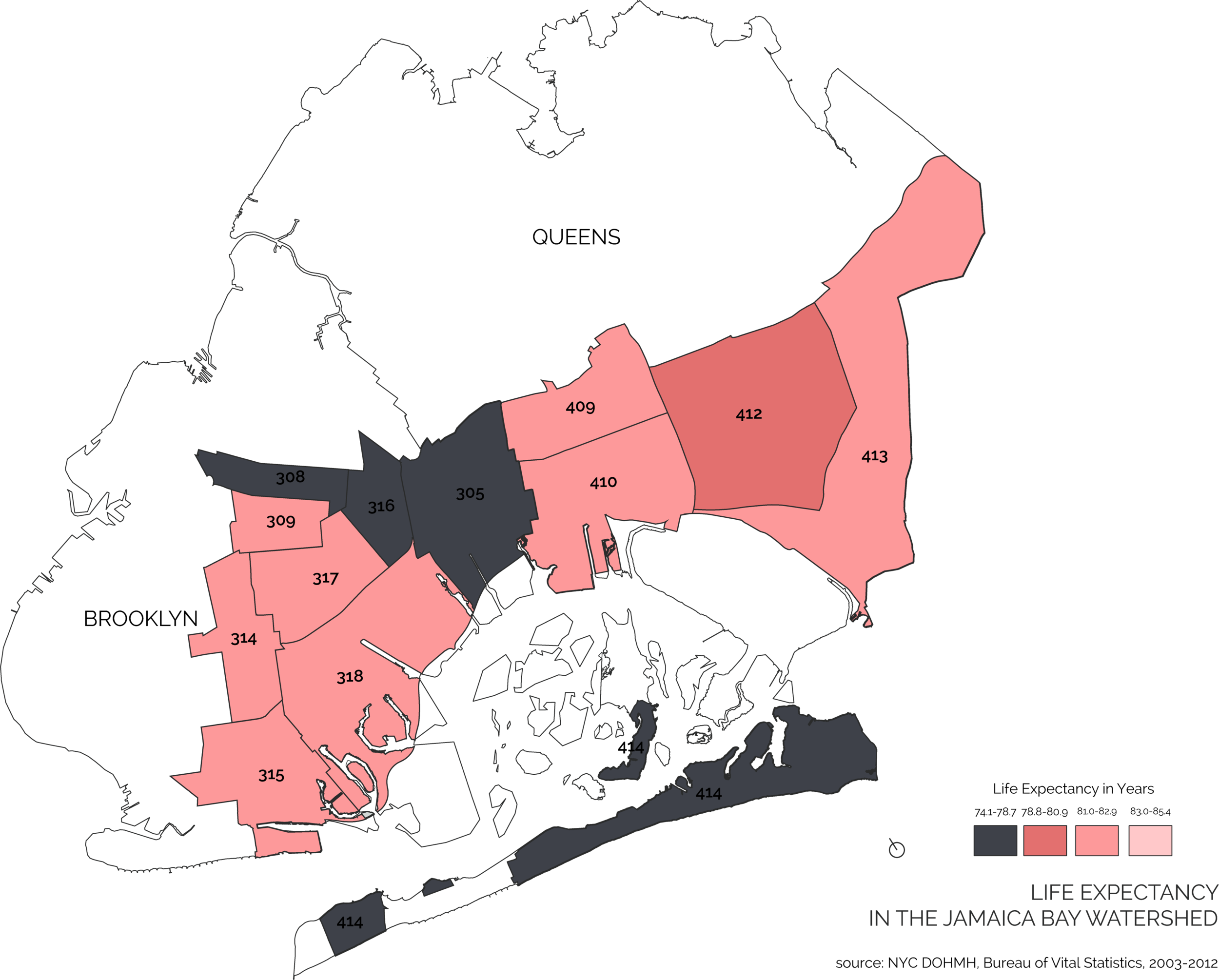
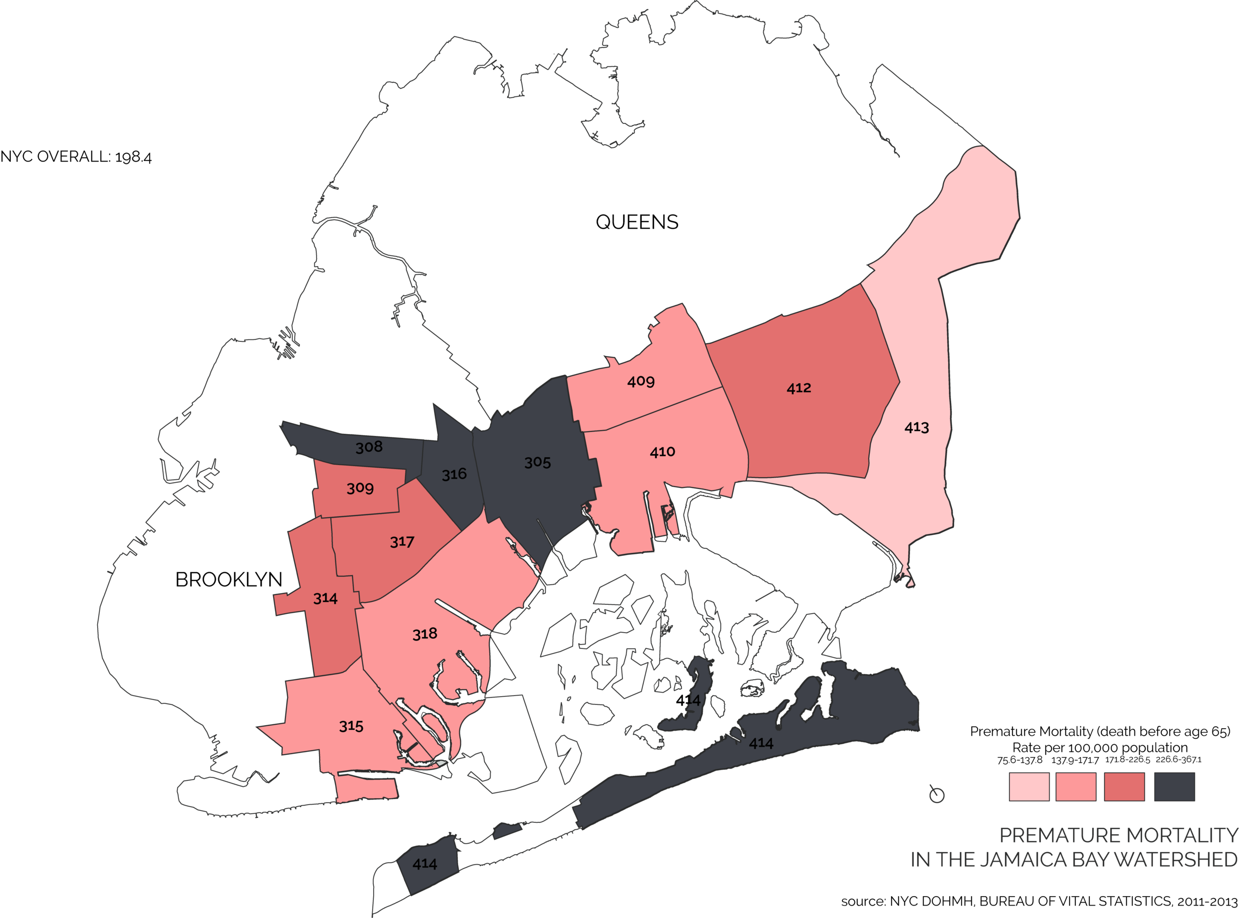
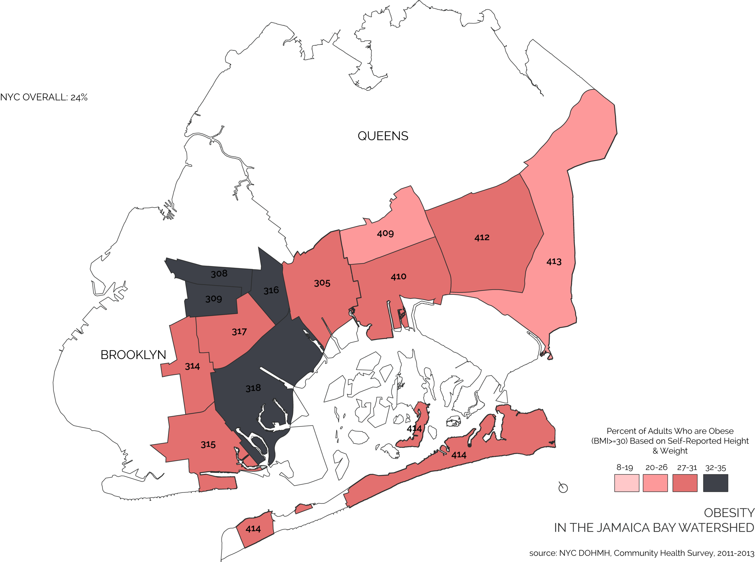
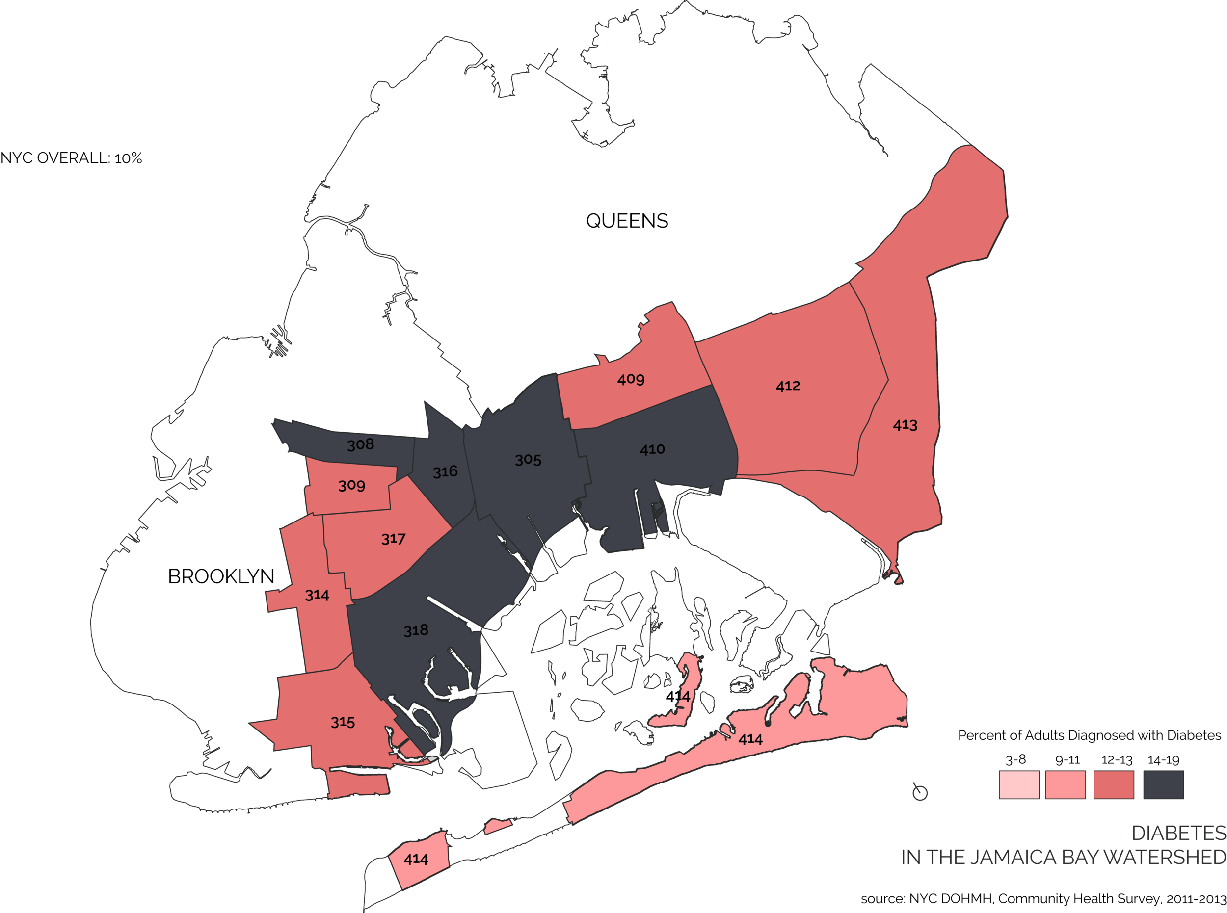
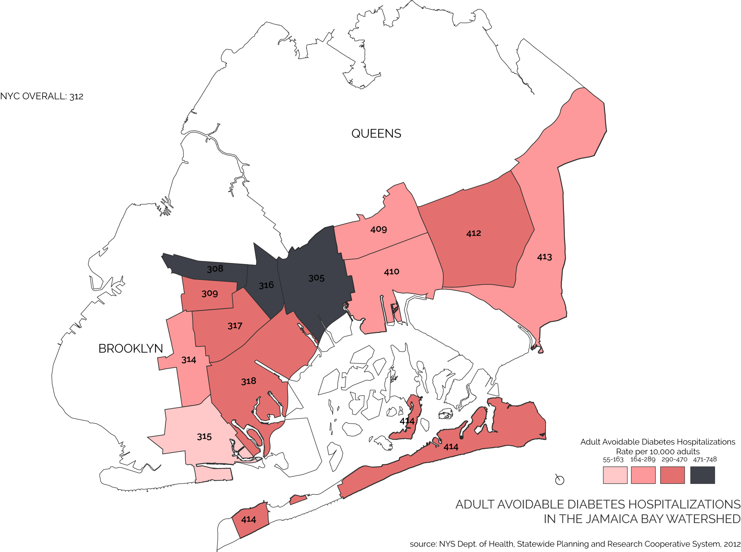
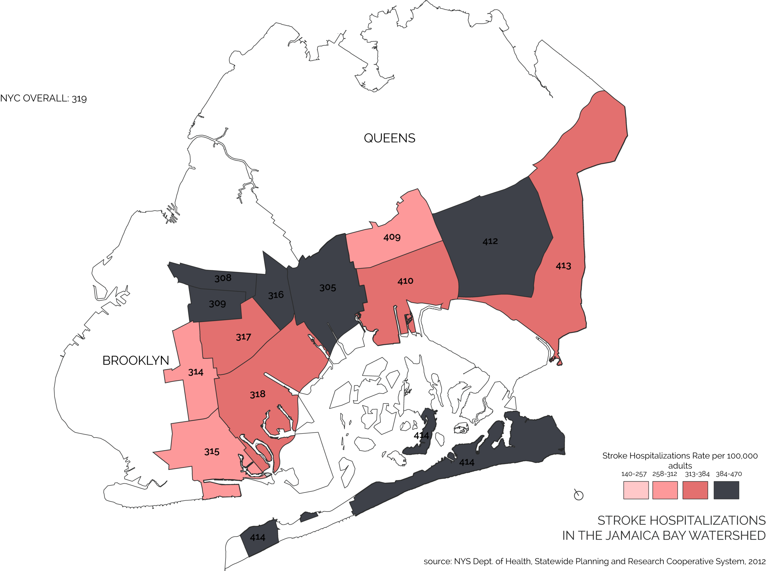
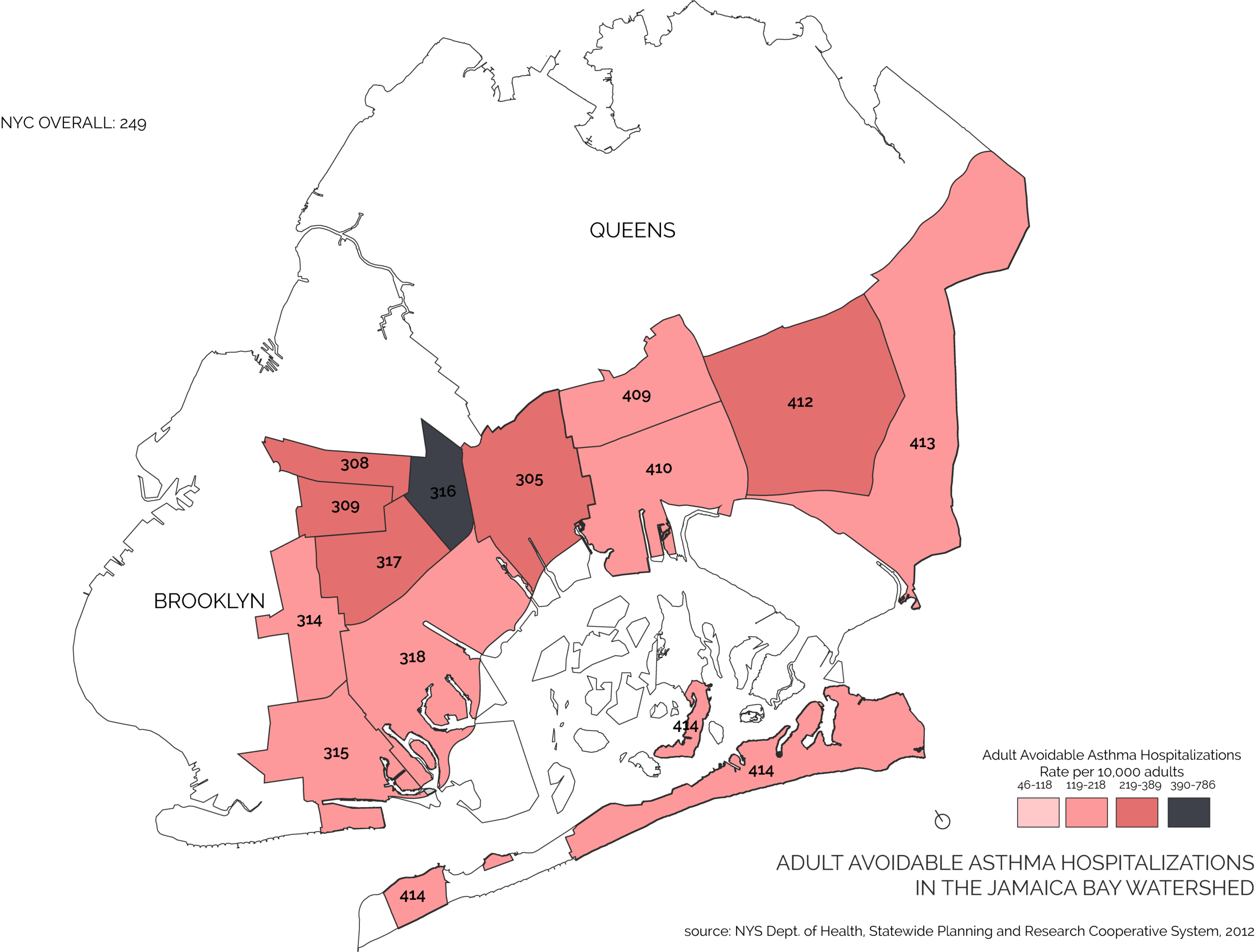
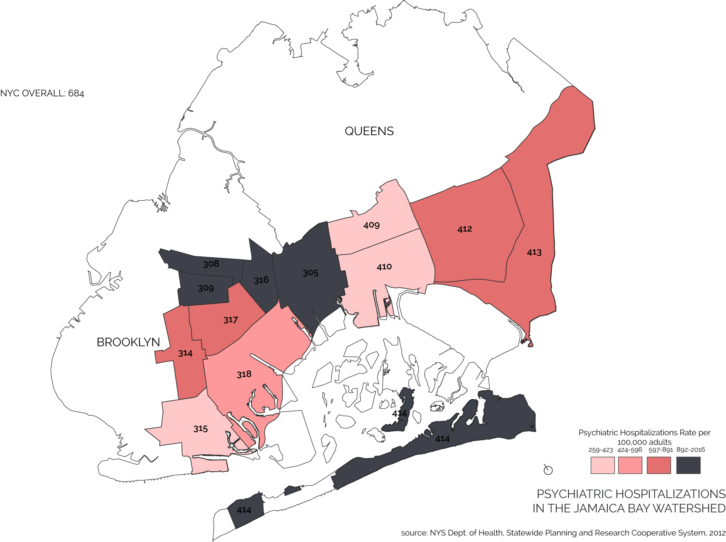
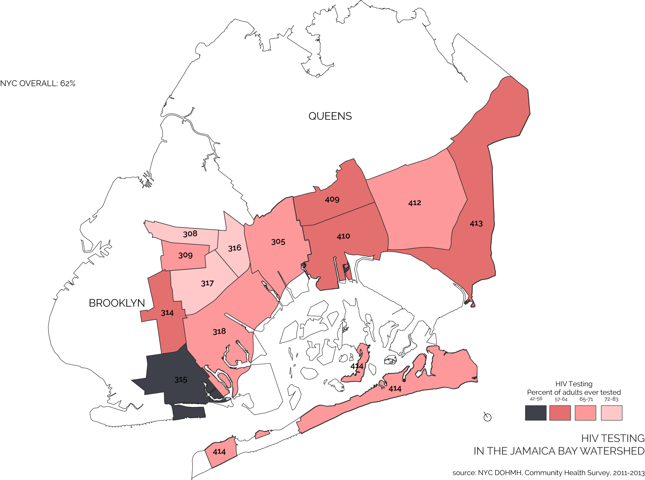
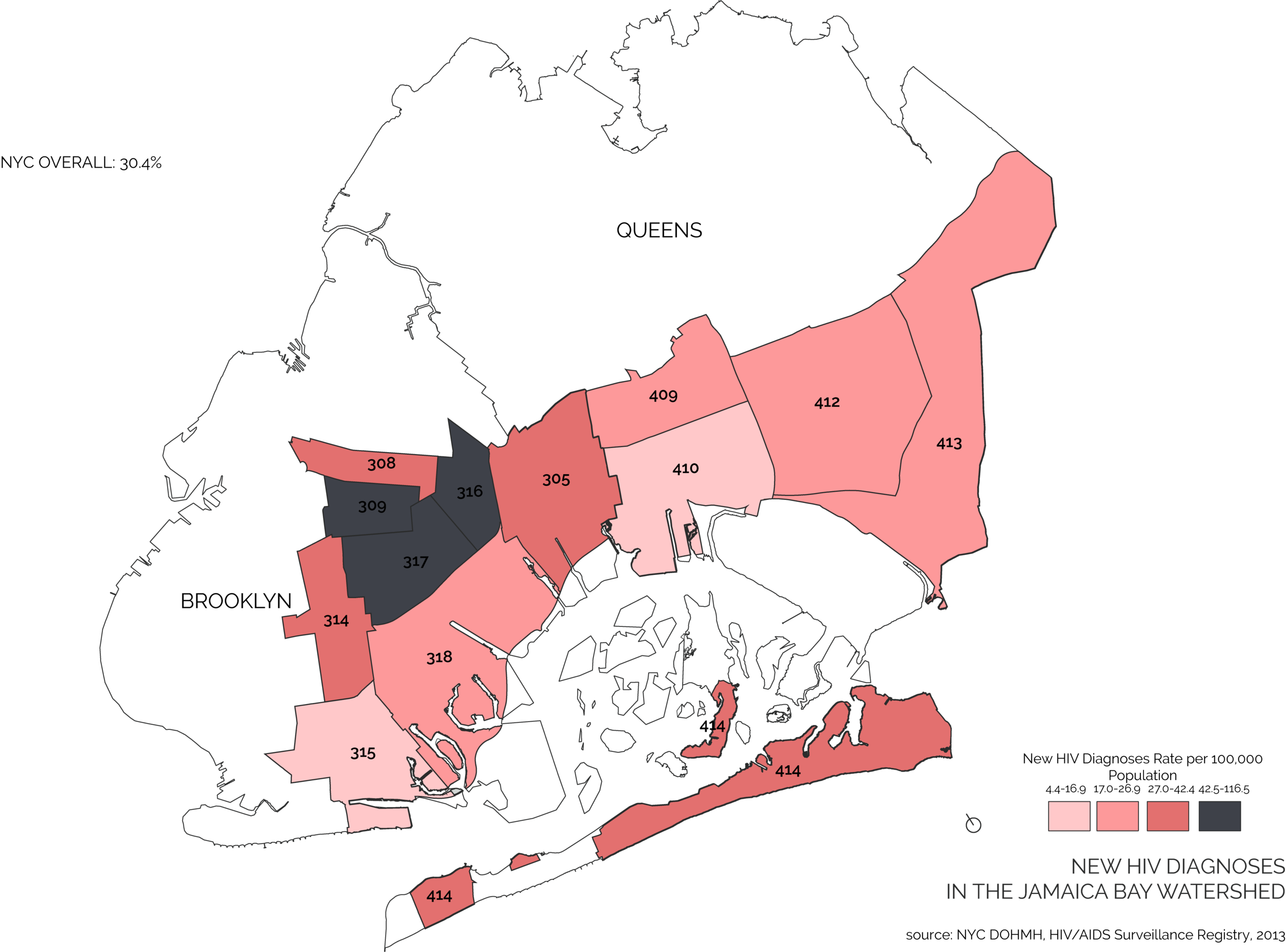
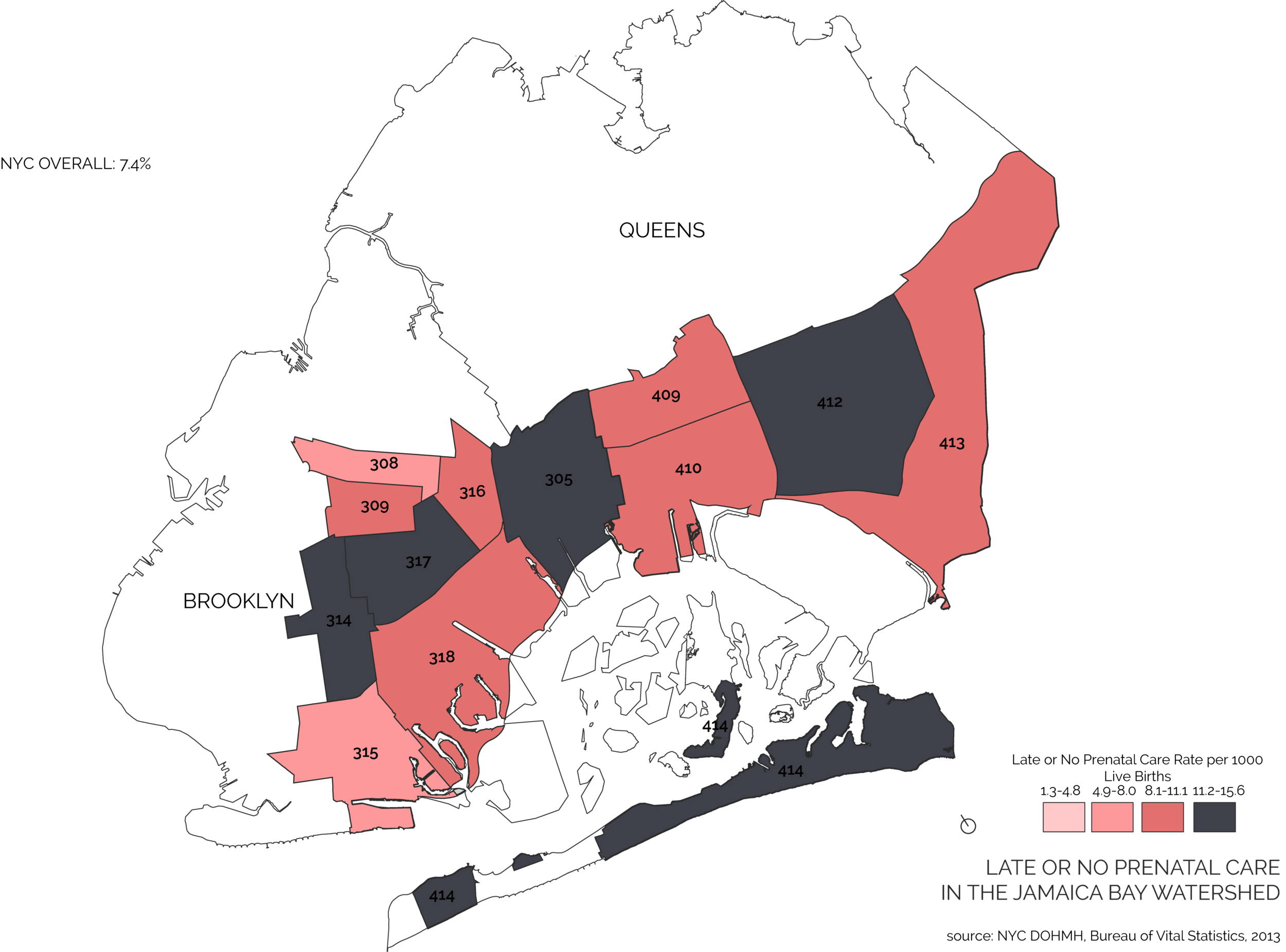
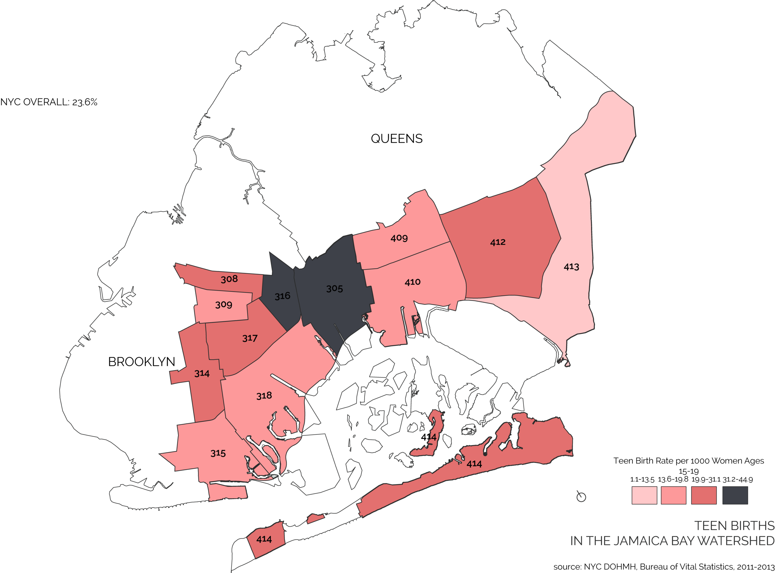
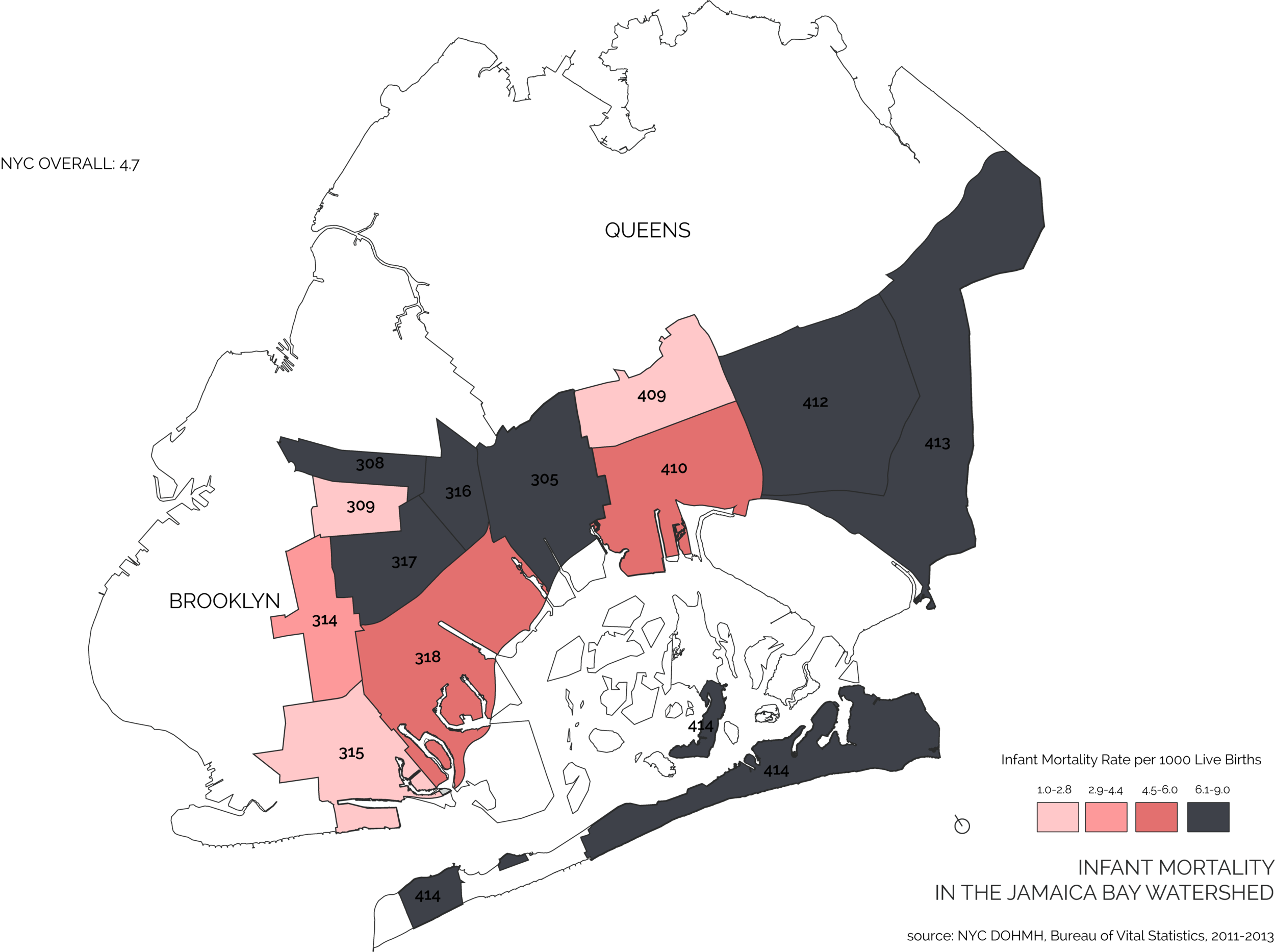
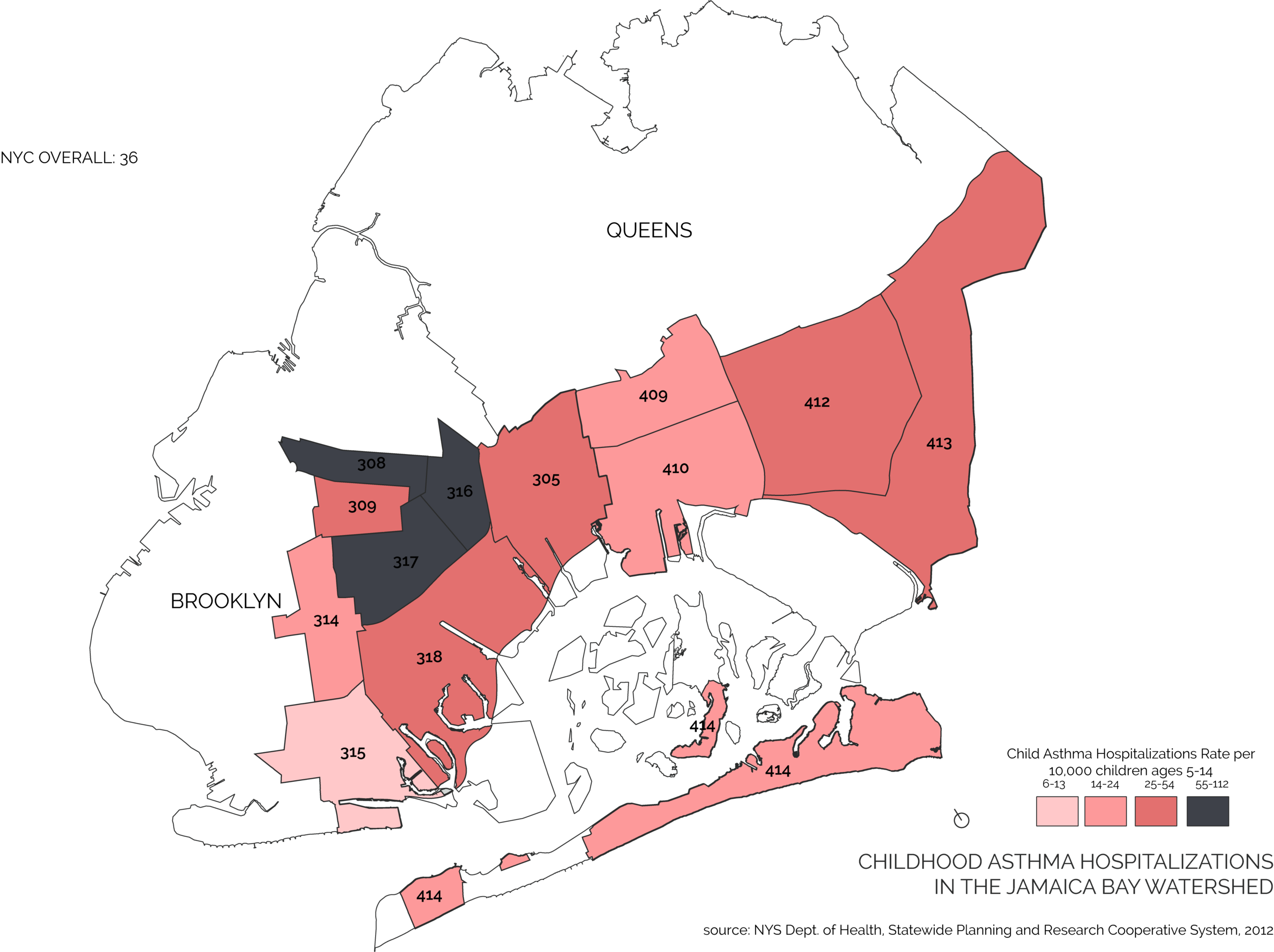
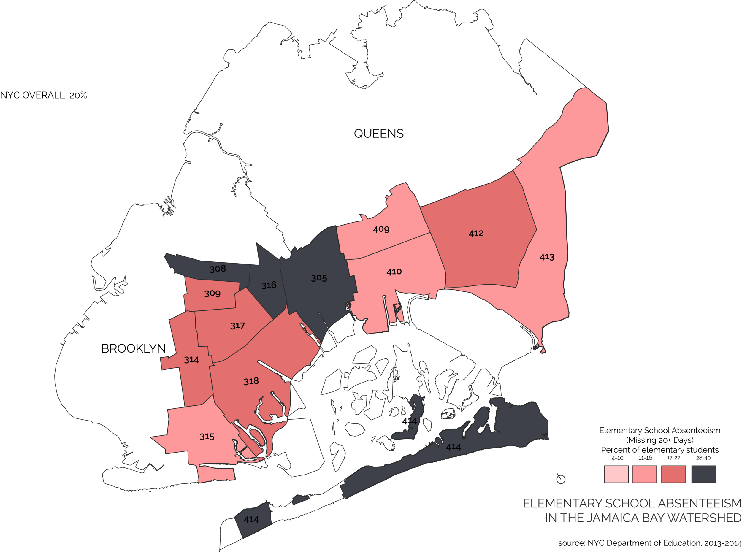
Select Sampling of Community Health in the Jamaica Bay Watershed
These maps examine health conditions that have been associated with environmental factors, such as asthma, obesity, diabetes, stress, depression, anxiety, infant mortality, preterm births, heart disease, stroke, and premature mortality.
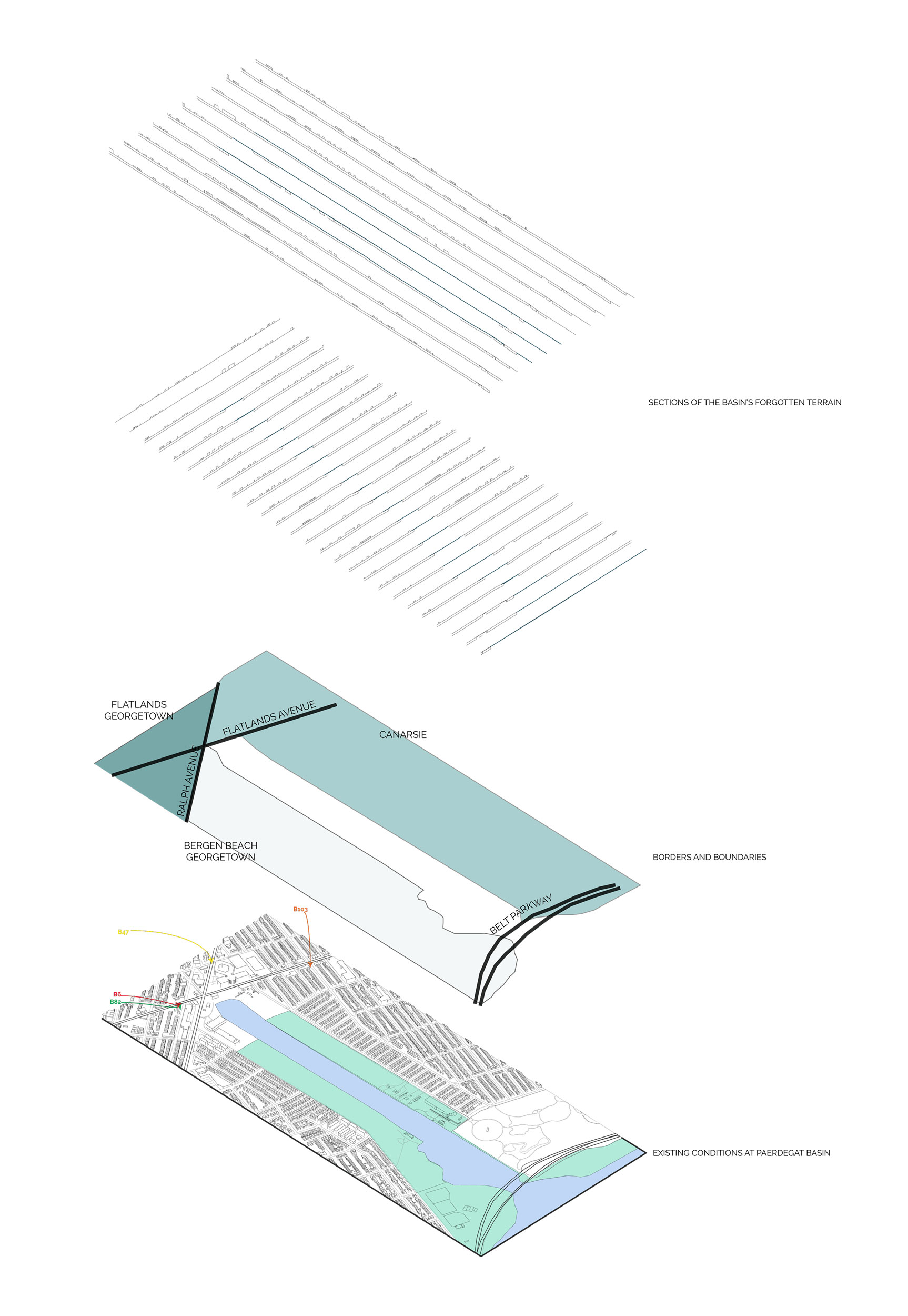
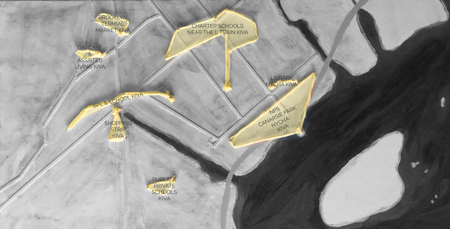
Breakdown of Conditions Surrounding Paedergat Basin
Design Intervention
The Hive Plan


